Culture Chapel Odulphus in Dendermonde set the scene for the first Scheldt Mapathon of the Artemis project on November 14, 2025. A group of 25 volunteers guided by Dijk92 and intercommunal immovable heritage service or intergemeentelijke onroerenderfgoeddienst Schelde-Durme georeferenced a part of the Belgian primitive land registry.
Prof. dr. Iason Jongepier (University of Antwerp; State Archives) opened the day with a short introduction of the design and objectives of the Artemis project. He explained how the georeferenced information (georeferencing refers to linking coordinates to images in order to transform parcels, buildings, or infrastructure into geographical data) will be used to visualize the cadastral plans on a contemporary map including extracted geographical data (e.g. parcels, buildings, infrastructure). This data will help to reconstruct the landscape of the Scheldt Valley in the early nineteenth century.

Rein Debrulle (Ghent Centre for Digital Humanities) instructed the volunteers on how to georeference using Allmaps. The open-source tool suite Allmaps makes georeferencing, as well as the presentation and exploration of digitized historical maps easier. Multiple apps and packages create a powerful yet accessible toolsuite to make historical maps more visible and usable. The accessible web interface enables anyone with basic computer skills to link geocoordinates to scanned historical maps (Allmaps Editor) and present the warped results in a web viewer (Allmaps Viewer).
 The workshop and online manual followed by an exploration of the digital environment and a short question round set the volunteers up for success. Participants chose a (part of a) village to process and started georeferencing the maps. The search for corresponding points captivated everyone. Participants took the search very seriously. They evaluated and re-evaluated their choices and consulted their neighbours as well as the researchers present.
Work hard, play hard
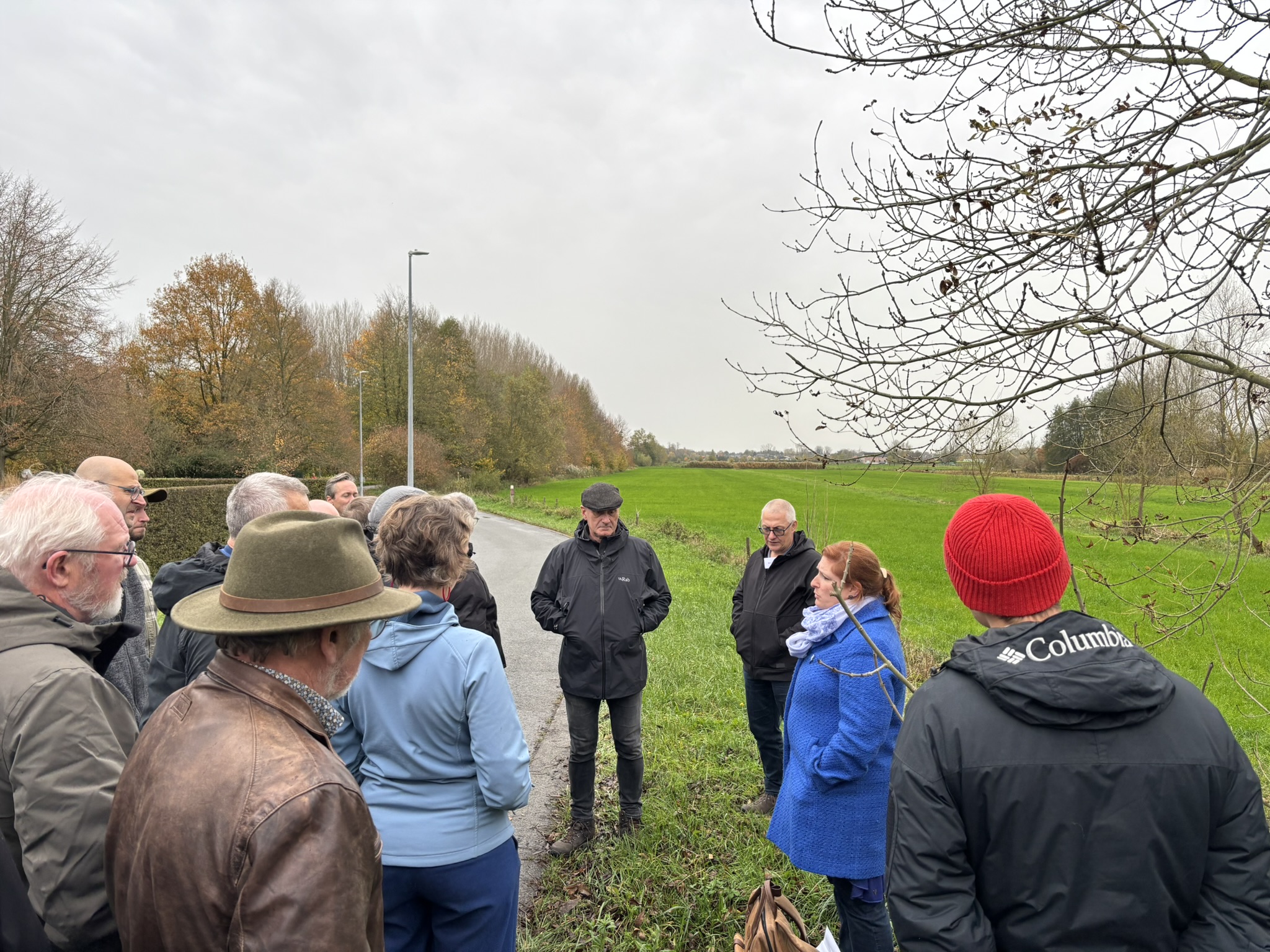
We interrupted the georeferencing with a lunch break and a guided tour of the Saint-Onolf polder. Lies Vervaet (IOED Schelde-Durme) explained how the landscape changed and evolved and pointed out some relics that are still visible today. She thus underlined the relevance and the practical use of georeferenced information.
The rest of the afternoon was fully dedicated to the georeferencing process. In order to gain insight into the profile and the motivation of participants and improve future events, master’s student Dietlind-Rozekin Craenhals conducted interviews for her master’s thesis.
A promising result of more than one hundred georeferenced map sheets motivated some of the volunteers to continue georeferencing from home. The first edition can thus be considered a ravishing success.
Would you like to host a Schelde mapathon or organise a mapathon for your own collection? Contact Rein.Debrulle@UGent.be.
Photo credits: Lies Vervaet, Michiel Dejonckheere Dijk92
